Family mountain field guide
Whistler · Coast Mountains, British Columbia
Whistler’s mountain weather
Ride toward a changing sky, look closely at small mountain flowers, and discover the cable systems that make an alpine journey possible.
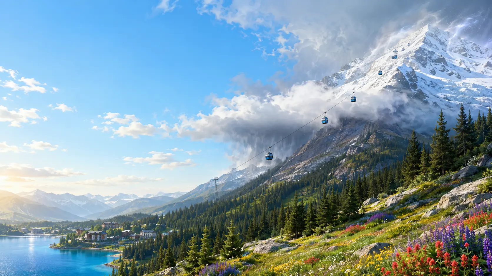
Illustrative destination scene
01Begin with wonder
Whistler at a glance
A mountain can turn the journey upward into a lesson of its own.
Whistler combines a lively valley village with high mountain terrain. The draw is the change in perspective: forest below, rocky slopes above and clouds that can move across the view. Choose a mountain outing that suits the youngest explorer, with a village alternative ready.
- The draw
- Mountain views & alpine life
- The pace
- A flexible ascent
- The mood
- A sky worth watching
02Put the place on the map
Where to find Whistler
Whistler is in British Columbia’s Coast Mountains, north of Vancouver. Squamish lies between the two along the Sea to Sky Highway.
North from Vancouver through Squamish.
Whistler Village sits at the base of the Whistler Blackcomb mountain resort. Vancouver is the main city gateway, with Vancouver International Airport serving visitors arriving from farther away. The road approach follows Howe Sound before climbing inland toward Whistler.
- By carHighway 99—the Sea to Sky Highway—links Vancouver, Squamish and Whistler.
- By coach or shuttleRoad-transfer services connect downtown Vancouver and Vancouver International Airport with Whistler.
Province overview
British Columbia

The highlighted window shows the area enlarged in the local map.
A closer look
Whistler · valley and mountain setting

- Featured location
- Key road
- Water
Open enlarged local map ↗ · Official sightseeing maps and routes ↗
Geographic orientation with selected landmarks and roads. Road geometry is mapped; this is not a turn-by-turn route or a record of current access.
Map data © OpenStreetMap contributors ↗ · Province and regional outlines: Natural Earth ↗. Maps prepared 21 October 2026.
03Three ways to look closer
Learn and explore in Whistler
Notice low-growing plants, explore a cable system and connect clouds with moving air.
- Nature spotlightLook at life near the ground ↗
Discover why small forms can help plants live in a windy, short growing season.
- Engineering spotlightFollow a gondola’s support ↗
Separate the job of carrying weight from the job of moving a cabin.
- Science spotlightWatch the air rise ↗
Understand how terrain can help form clouds without treating an illustration as a forecast.
Start small: Before going up, describe the sky from the village. Compare it later only from safe, open visitor areas.
04Alpine plants & habitats
Small plants. A demanding season.
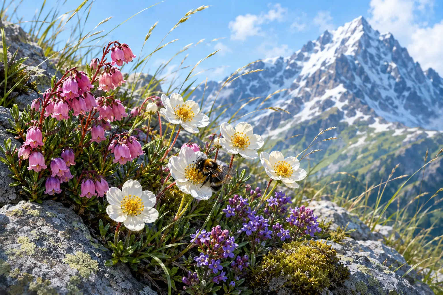
Alpine plants live with a short growing season, wind and changing temperatures. Their small forms are part of the interest: a flower a few centimetres tall can belong to a plant adapted to a difficult place.
- Stay close to shelter.
Low-growing and cushion-like forms can reduce exposure to wind and create a different microclimate near the ground.
- Use the brief growing season.
Flowering and seed production must fit suitable conditions. The timing varies with snowmelt, elevation and weather.
Try this: From an open marked path, compare a low plant with a taller one. What is sheltered by rock, and what is exposed? Avoid stepping off the trail to inspect it.
05Gondolas & cable systems
A cabin has more than one moving part.
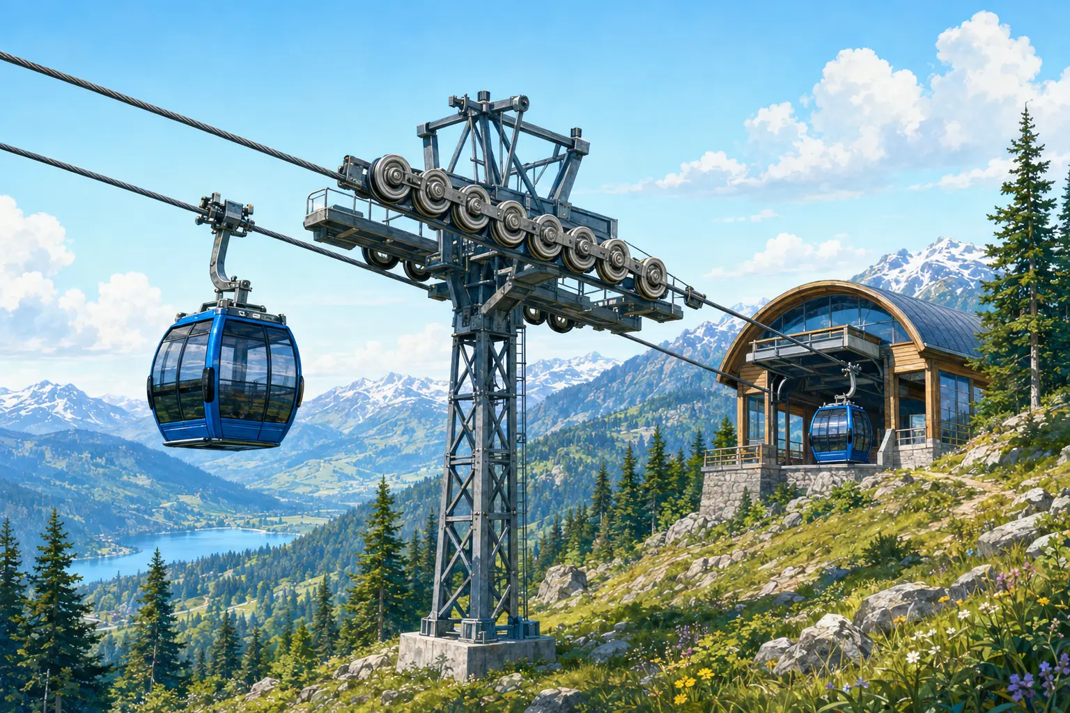
A gondola system carries a cabin while moving it between stations. Different systems organise those jobs differently, so one generic picture cannot identify every lift’s components.
- A moving rope can do two jobs.
In a monocable gondola, one rope supports and pulls the cabin. In a 3S system such as PEAK 2 PEAK, track ropes support the carriage while a separate haul rope pulls it.
- A detachable grip changes the station journey.
A detachable cabin can leave the moving haul rope and travel more slowly through a station before accelerating and regripping. This is a general operating principle, not a maintenance guide.
Try this: From an authorised visitor area, look for the cabin, hanger and ropes. Describe what you can actually see; leave the identification of concealed machinery to the operator.
Whistler Blackcomb: rope and grip systems ↗ · Doppelmayr: ropeway systems ↗
01 · Support
Carry the cabin
Ropes, carriage and structure carry loads to the supporting system.
02 · Motion
Pull along the line
The haul system moves cabins through the route.
03 · Station
Board more slowly
A detachable system uses a slower station journey.
04 · Operation
Check the actual lift
Follow the operator’s instructions and current access rules.
06Mountain weather
Why does the sky change as you climb?
When terrain forces moist air upward, falling pressure allows the air to expand and cool. If it reaches saturation, cloud droplets can form.
Illustrated field lesson
Why clouds gather on a mountain
Lift, cooling and sufficient moisture work together.

- Lift
Terrain can force approaching air upward.
- Cool
Rising air expands and cools as pressure falls.
- Condense
Cloud droplets can form if the air reaches saturation.
- Cloud is conditional.
Air must contain enough moisture and cool sufficiently. A mountain does not create the same cloud or rainfall every day.
- The village is only one observation.
Exposure, elevation and the weather system can produce very different conditions on the mountain. A sunny base does not establish conditions above.
Try this: Compare the official village and mountain information before deciding the day’s plan. Look for temperature, wind, visibility and lift status—not just the symbol for sunshine.
NOAA: terrain-driven lifting ↗ · Current mountain conditions ↗
01 · Lift
Air is forced upward.
Terrain can redirect an approaching air mass.
02 · Cool
Pressure falls with height.
Rising air expands and cools.
03 · Condense
Cloud may form.
Enough cooling and moisture are both needed.
07Make the day work for your family
Family travel guide
A flexible plan, useful official links and enough time to enjoy the place.
Choose the ride before the route.
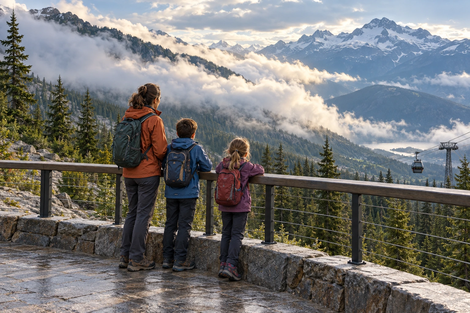
Check the current operating lifts, departure base, ticket inclusions and last descent before booking. A valley ascent, PEAK 2 PEAK crossing and extra alpine access are separate planning questions. Allow generous time for your return.
Confirm cabin boarding, stroller or wheelchair arrangements and any additional chairlift requirements directly. A gondola journey does not establish the suitability of every trail or viewpoint beyond the station.
When to go
Spring & autumn
Treat shoulder seasons as an operating-date question. Mountain sightseeing may be unavailable between seasons.
Summer
A useful period to investigate alpine access, with snow and trail conditions still requiring checks.
Winter
A different mountain experience with different tickets, equipment and conditions. Do not apply a summer walking plan unchanged.
Bring a small field kit
- Warm and waterproof layers
- Water and snacks
- Sun protection
- Appropriate footwear
- Current lift and trail information
- A flexible return plan
Is PEAK 2 PEAK the ride from Whistler Village?
No. It connects the upper mountains. Check your valley ascent, crossing and return arrangements together.
Does the weather illustration predict our visit?
No. It explains one atmospheric process. Current forecasts, observations and operating notices determine the practical plan.
Sources & image notes
- NOAA: orographic lifting ↗
- Official sightseeing maps and routes ↗
- NPS: alpine growing conditions ↗
- Whistler Blackcomb: rope and grip systems ↗
- Doppelmayr: ropeway systems ↗
- NOAA: terrain-driven lifting ↗
- Current mountain conditions ↗
- Lift operating information ↗
- Mountain conditions ↗
- Sightseeing maps and routes ↗
- Highway 99 road conditions ↗
Destination scenes are existing learning illustrations, not documentary photographs or records of a visit. Province overviews use Natural Earth boundaries and local maps use OpenStreetMap road, water and named-place geometry; they do not establish current access. Seasonal suggestions are editorial planning advice.
Reference and planning links assembled 19 October 2026. Check the relevant authority for current access and operating information before travelling.
The illustrated field lesson combines contextual artwork with checked explanatory labels. It is a qualitative teaching model. Its main labels are repeated in readable text below the figure.
08 · Read the children’s story
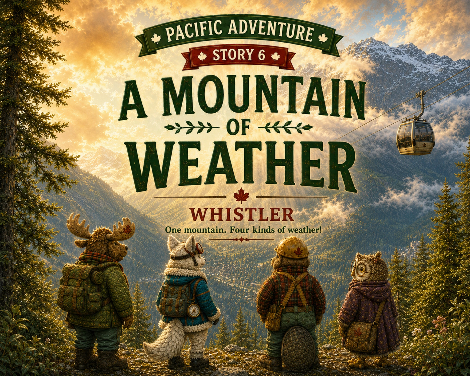
Take the wonder into the story.
A Mountain of Weather
Follow a mountain adventure where a gondola ride, a changing sky and small alpine discoveries turn one outing into a weather investigation.
Read together before your visit to spark questions, or afterwards to compare the discoveries with your own.
Read the children’s story ↗Pacific Adventure · Chapter 6