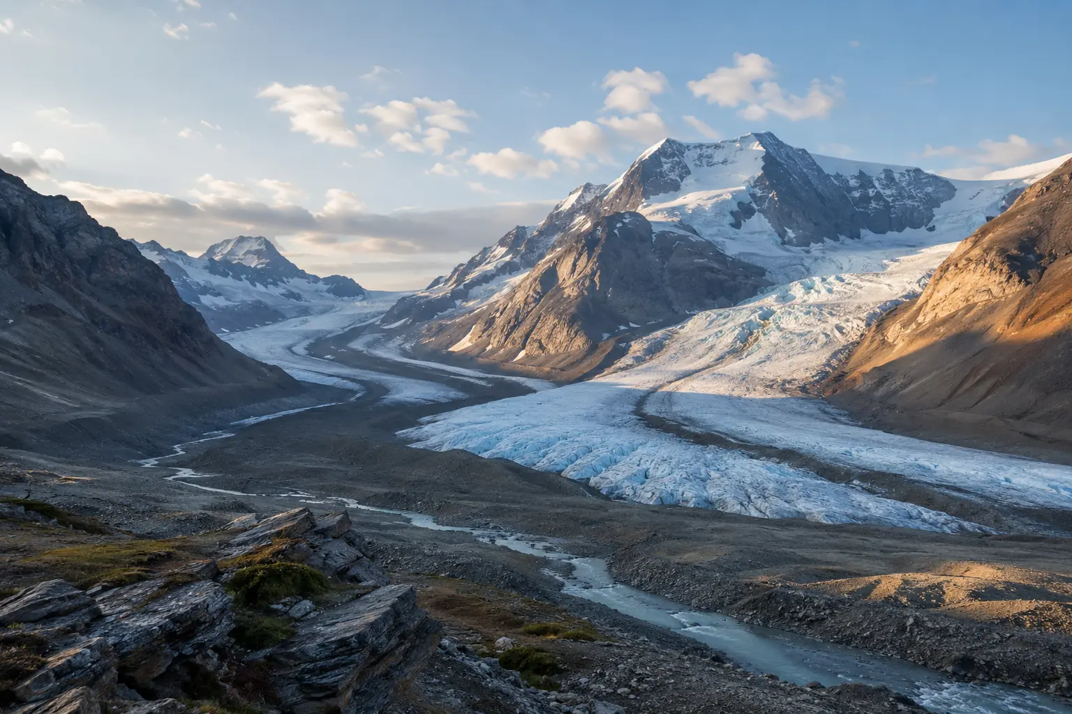
Explore Canada · Jasper National Park
Where rivers begin as ice
Stand at the edge of the Columbia Icefield, follow meltwater into three great watersheds, and discover how a glacier can flow even when it looks still.
A real-world companion to River of Ice, Chapter 11 of The Maple Explorers' Pacific Adventure.
Columbia Icefield · Canadian Rockies
A frozen water tower
One high icefield. Rivers travelling in three directions.
The Columbia Icefield is the largest mass of glacial ice in the Canadian Rockies. Its snow and ice feed glaciers, streams and river systems reaching far beyond the mountains.
The Athabasca Glacier is the most visible arm of the icefield. Families can read its story from approved viewpoints and public routes while leaving the unstable glacier surface to trained guides.
Explore the official glacier overviewFamily journey
Make the glacier the destination, not the deadline
The Icefields Parkway is remote mountain travel. Keep the day flexible, use public places, and let current road and weather conditions shape every stop.
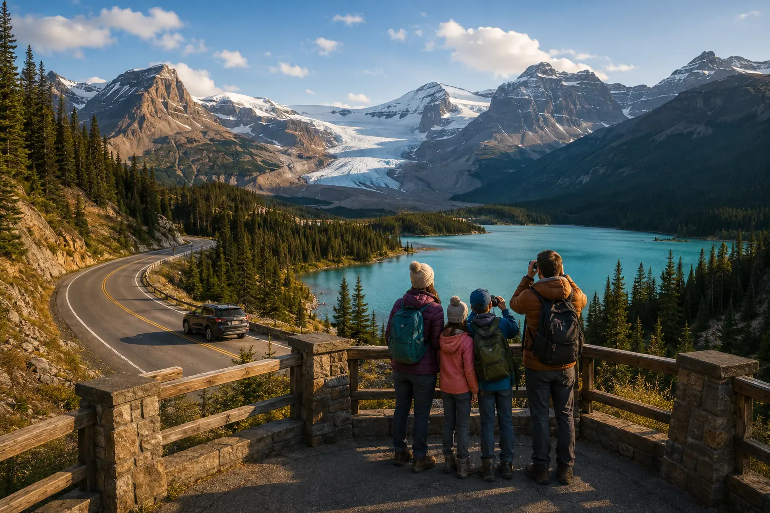
- 1 Scenic parkway
- 2 Visitor information
- 3 Public glacier view
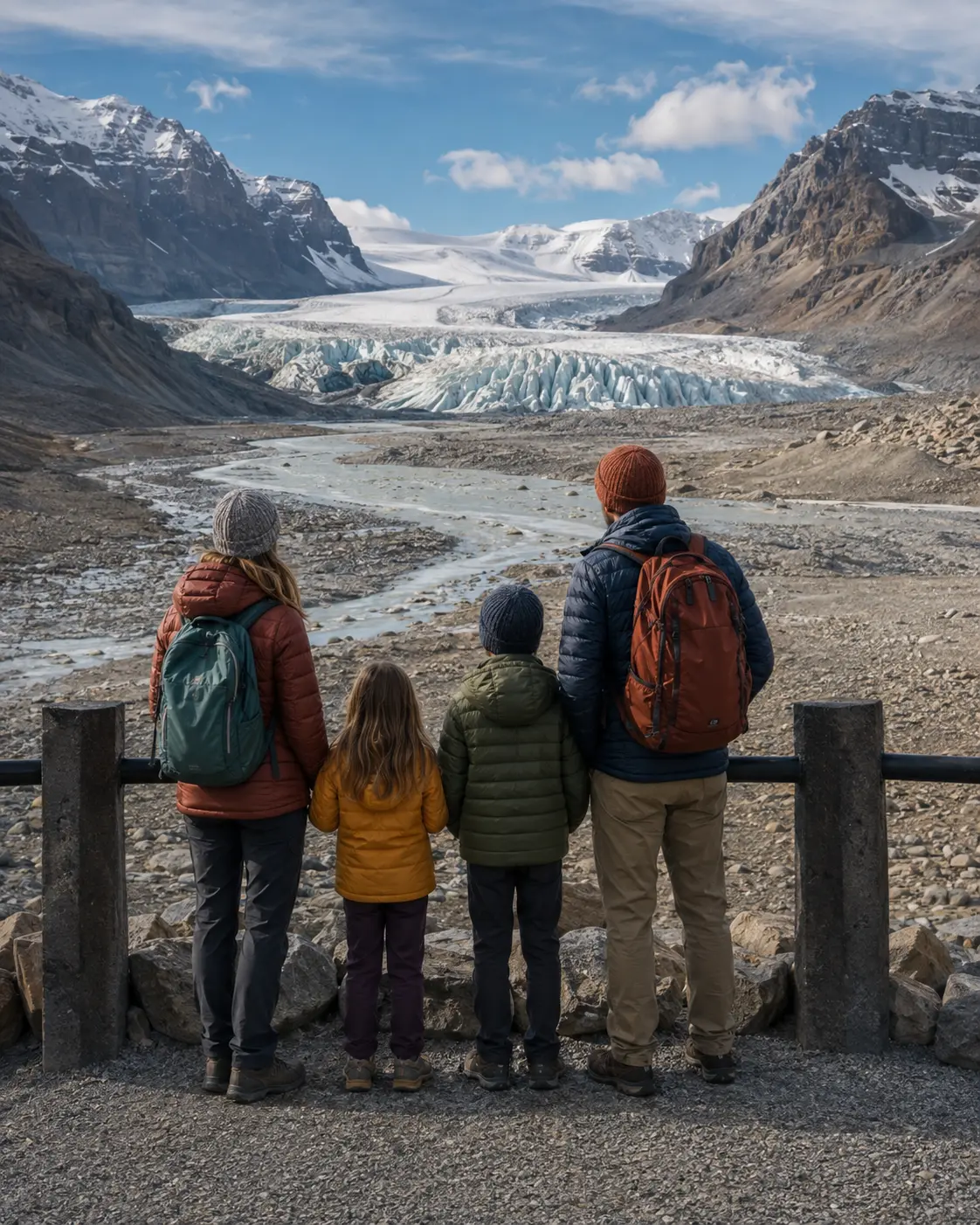
Glacier detective work
Read the landscape from solid ground
A glacier leaves clues long after the ice has moved away. Invite children to compare rock, water and new plant life without stepping off the marked route.
Rock clues
Find smooth surfaces, scratches and piles of stone carried or shaped by moving ice.
Water clues
Follow the sound of meltwater while staying well back from cold, fast-moving streams.
Life clues
Notice mosses and alpine flowers beginning to grow on ground once covered by ice.
The ice is not a playground
The public path ends before the glacier begins
Glacier ice can be hollow, fractured and covered by snow that hides deep crevasses. Barriers protect visitors from hazards that are difficult to see.
Use marked public routes
Never step around fencing for a closer look, shortcut or photograph.
Follow trained leaders
Proper skills, equipment and route knowledge are essential on glacier terrain.
Carry warm, waterproof layers. Glacier winds and mountain weather can feel very different from the valley below.
Keep children close beside roads, viewpoints, meltwater and rough ground.
Turn back when visibility, footing, flowing water or anyone's comfort changes.
Plan a flexible visit
A family checklist that stays useful in every season
Prepare for a remote mountain day without relying on fixed schedules. Check only the details that can change when your travel date is close.
Check current conditions
Review official road, weather, trail and closure information just before leaving.
Prepare for no signal
Download maps and key information, tell someone your plan, and keep emergency details offline.
Choose public access
Use signed viewpoints, visitor facilities and marked routes that are open during your visit.
Pack for the high country
Bring fuel, food, water, sturdy footwear and layers for wind, cold rain or wet snow.
Glacier science
How does snow become a river of ice?
The journey begins high above the viewpoint, where years of snowfall build, compress and start to move.
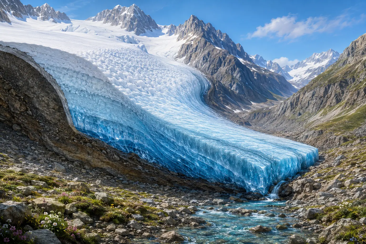
A glacier is ice in motion
Snow that survives year after year is pressed into dense ice. Under its own weight, the ice slowly flows downhill. Lower down, melting returns some of that stored water to streams and rivers.
A glacier recedes when ice is lost faster than snowfall can replace it.
Snow stays
High in the mountains, more snow survives the warm season than melts away.
Layers compress
New snow presses older snow into firn and, over time, dense glacier ice.
Ice flows
Gravity pulls the heavy ice downhill, even when the glacier appears completely still.
Meltwater travels
Water leaves the lower edge, joins streams and rivers, and supports life far downstream.
Three continental watersheds
Water starts together, then travels three ways
The Columbia Icefield sits on a hydrological apex. Meltwater leaving different sides of the high plateau joins river systems that eventually reach three oceans.
Columbia Glacier → Columbia River
Saskatchewan Glacier → North Saskatchewan River
Athabasca system → northern rivers
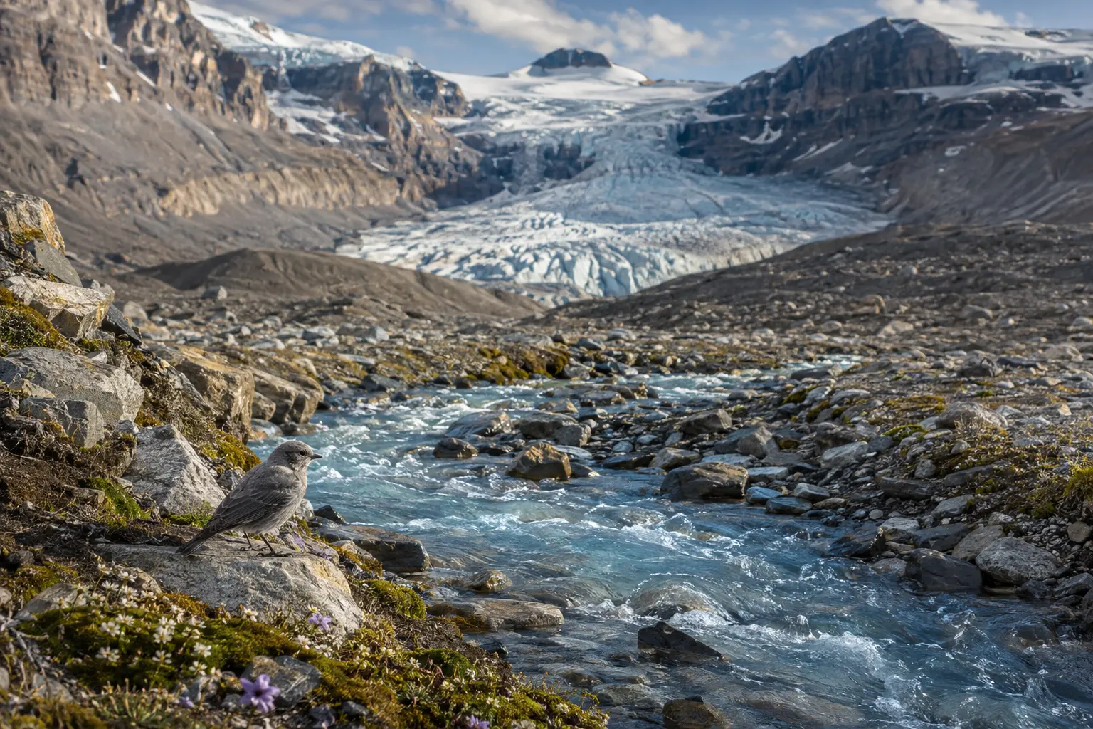
Life beside the meltwater
The rocky forefield is a landscape in transition
The Athabasca Glacier has been receding for more than a century, leaving moraines and bare rock behind. Water begins moving through the newly exposed ground almost immediately.
Over time, mosses and small alpine plants take hold beside the streams. That makes the glacier's edge both a record of change and a place where new ecological stories begin.
Learn about Jasper's glaciersFamily questions
Before you go
Evergreen answers with official links for anything that changes.
Can families walk onto the Athabasca Glacier?
Not independently. Parks Canada warns that hidden crevasses can be deadly. Stay on marked public routes and behind every barrier; go onto glacier ice only with properly trained, authorized guidance.
Can children see the glacier without booking a tour?
Yes. The Athabasca Glacier can be viewed from the Icefields Parkway area and from marked public routes when they are open. Check the official accessibility and visitor pages to choose an approach that suits your family.
Why is the Columbia Icefield called a hydrological apex?
Water leaving this high icefield enters river systems that eventually reach the Pacific, Atlantic and Arctic oceans. It is one of the rare places where three continental watersheds meet.
Does a glacier move even when it looks still?
Yes. Snow is compressed into ice, and the glacier slowly deforms and flows downhill under its own weight. At lower elevations, some of that ice melts into streams and rivers.
What should families check before using the Icefields Parkway?
Check Parks Canada notices, the mountain forecast and 511 Alberta close to departure. Download the information you need because cell coverage is not dependable along the parkway.
 Open the story
 Continue the adventure
Read River of Ice
Lumi, Aspen, Hazel and Barrett follow a meltwater stream to its frozen source and discover that one enormous icefield connects snow, rivers, plants, animals and distant oceans.
- Designed for children ages 5–9
- Glacier movement explained through story clues
- Three-ocean watersheds and careful icefield exploration
Research sources
The page uses evergreen visitor guidance. Follow the official planning links for current road, weather, trail, access and closure information.
- Parks Canada: Icefields Parkway and Columbia Icefield
- Parks Canada: Columbia Icefield area and Athabasca Glacier
- Parks Canada: Glaciers and icefields
- Parks Canada: Accessible facilities
- Parks Canada: Travelling the Icefields Parkway
- Natural Resources Canada: Glaciers
- Environment and Climate Change Canada: Snow and ice as water sources