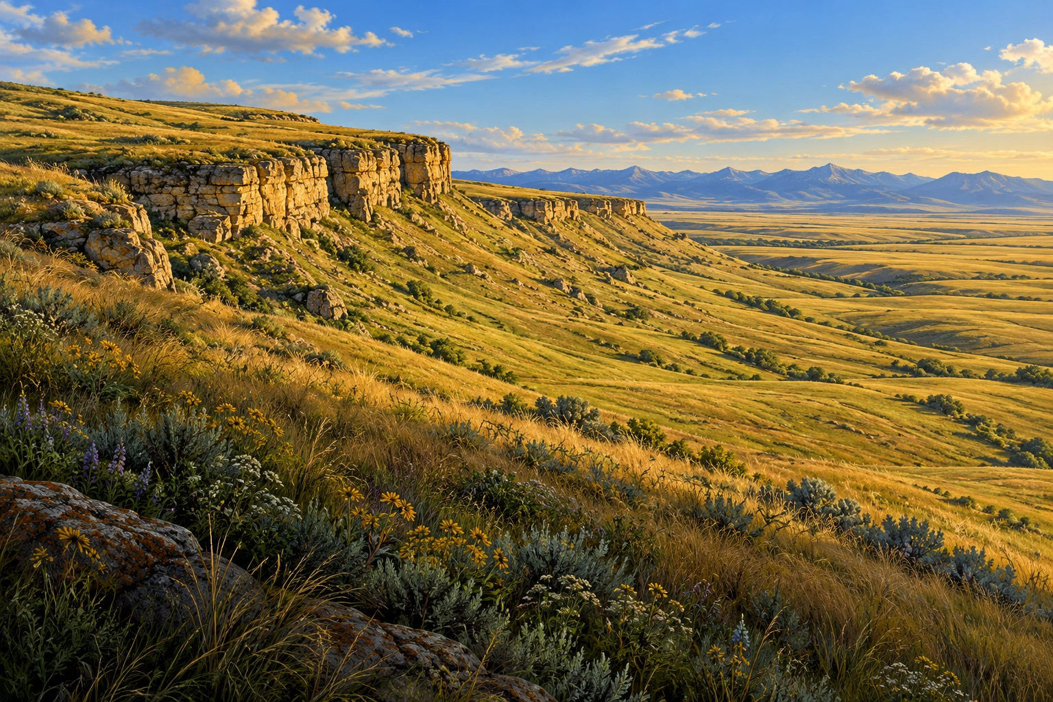
Family nature, science & travel field guide
Head-Smashed-In Buffalo Jump · Southern Alberta · near Fort Macleod
Head-Smashed-In Buffalo Jump’s prairie knowledge
Look across a powerful cultural landscape, learn through Blackfoot interpretation, and connect bison, grass and a carefully understood landform.
Illustrative destination scene
01Begin with wonder
Head-Smashed-In Buffalo Jump at a glance
The cliff is one part of a much larger landscape.
Head-Smashed-In Buffalo Jump brings together an interpretive centre, open prairie views and a deeply significant Blackfoot cultural landscape. Families can learn how knowledge, cooperation and relationships with bison shaped life on the plains. Give the interpretation as much attention as the view.
- The draw
- Blackfoot heritage & prairie
- The pace
- Centre plus designated paths
- The mood
- Land, people & bison
02Put the place on the map
Where to find Head-Smashed-In Buffalo Jump
Head-Smashed-In Buffalo Jump is in southern Alberta, northwest of Fort Macleod and west of Lethbridge.
A paved road from Fort Macleod.
Fort Macleod is the closest town gateway. Lethbridge is the nearby city to the east, while Calgary lies farther north. The interpretive centre sits within the prairie escarpment landscape.
- By carFrom Fort Macleod, paved Highway 785 leads about 18 km northwest to the site.
- At the siteThe visitor centre connects with designated upper and lower trails. Elevators serve the centre; the outdoor paths have their own distances and surfaces.
Province overview
Alberta

The highlighted window shows the area enlarged in the local map.
A closer look
Head-Smashed-In · Fort Macleod approach

- Featured location
- Key road
- Water
Open enlarged local map ↗ · Official directions and visitor access ↗
Geographic orientation with selected landmarks and roads. Road geometry is mapped; this is not a turn-by-turn route or a record of current access.
Map data © OpenStreetMap contributors ↗ · Province and regional outlines: Natural Earth ↗. Maps prepared 21 October 2026.
03Three ways to look closer
Learn and explore in Head-Smashed-In Buffalo Jump
Three connected ways to understand the place: notice its living world, look closely at a useful design, and follow the process behind an observation.
- Nature spotlightPlains bison ↗
See bison as part of a living grassland and a continuing cultural relationship.
- Engineering spotlightLandscape design & shared knowledge ↗
Connect terrain, cairn-marked lanes and collective planning without reducing the site to a cliff.
- Science spotlightGrassland growth & grazing ↗
Explore how leaves, low growing points and roots influence a grassland’s response to grazing.
Start small: Look for a relationship between the visible prairie and what lies below it.
04Plains bison
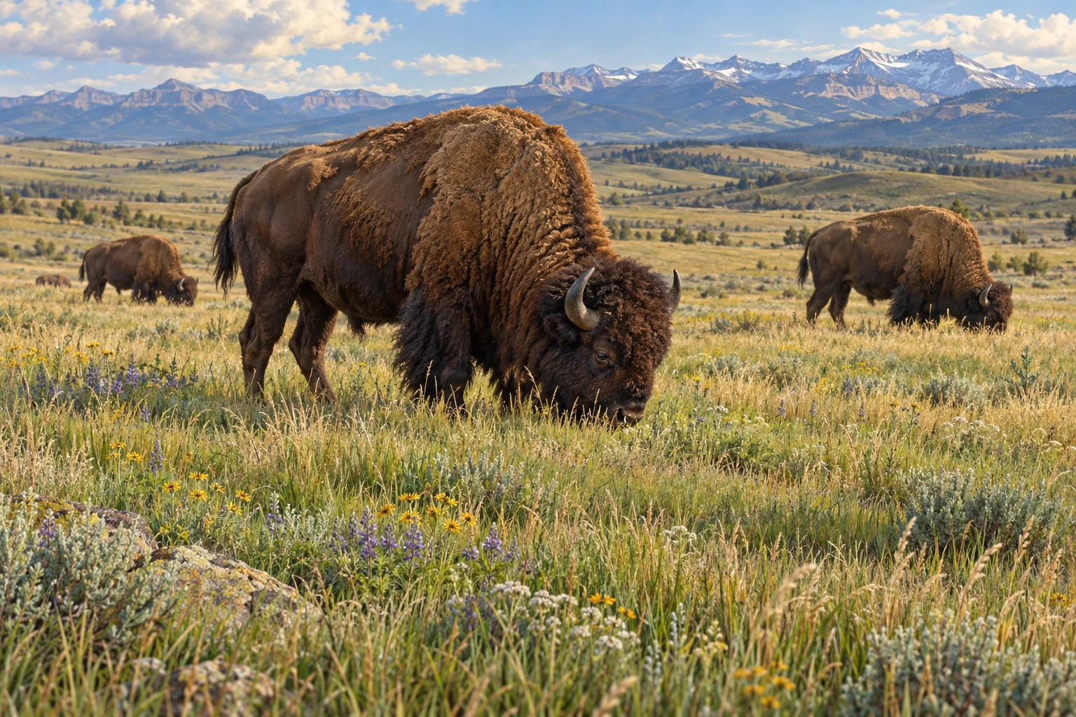
Bison belong to a grassland system.
A bison is a grazer: its feeding removes leaves and changes vegetation structure. Movement, wallowing and waste also affect patches of ground, alongside weather, fire and other animals.
- A herd changes a patchwork.
Grazed and ungrazed patches can support different conditions. A single animal does not explain every feature of a prairie.
- Ecology and culture connect.
The site’s Blackfoot interpretation explains relationships with bison that go well beyond a simple food-chain diagram.
Try this: Look at the prairie from a designated path. Compare tall and short vegetation without assuming every short patch was grazed by bison.
Parks Canada: plains bison ↗ · Blackfoot interpretation and programs ↗
05Landscape design & shared knowledge
Landform and cooperation shaped a system.
The gathering basin, cairn-marked drive lanes and cliff formed connected parts of a communal hunting landscape. Blackfoot knowledge of the terrain and bison behaviour was essential.
- A small marker can guide a larger plan.
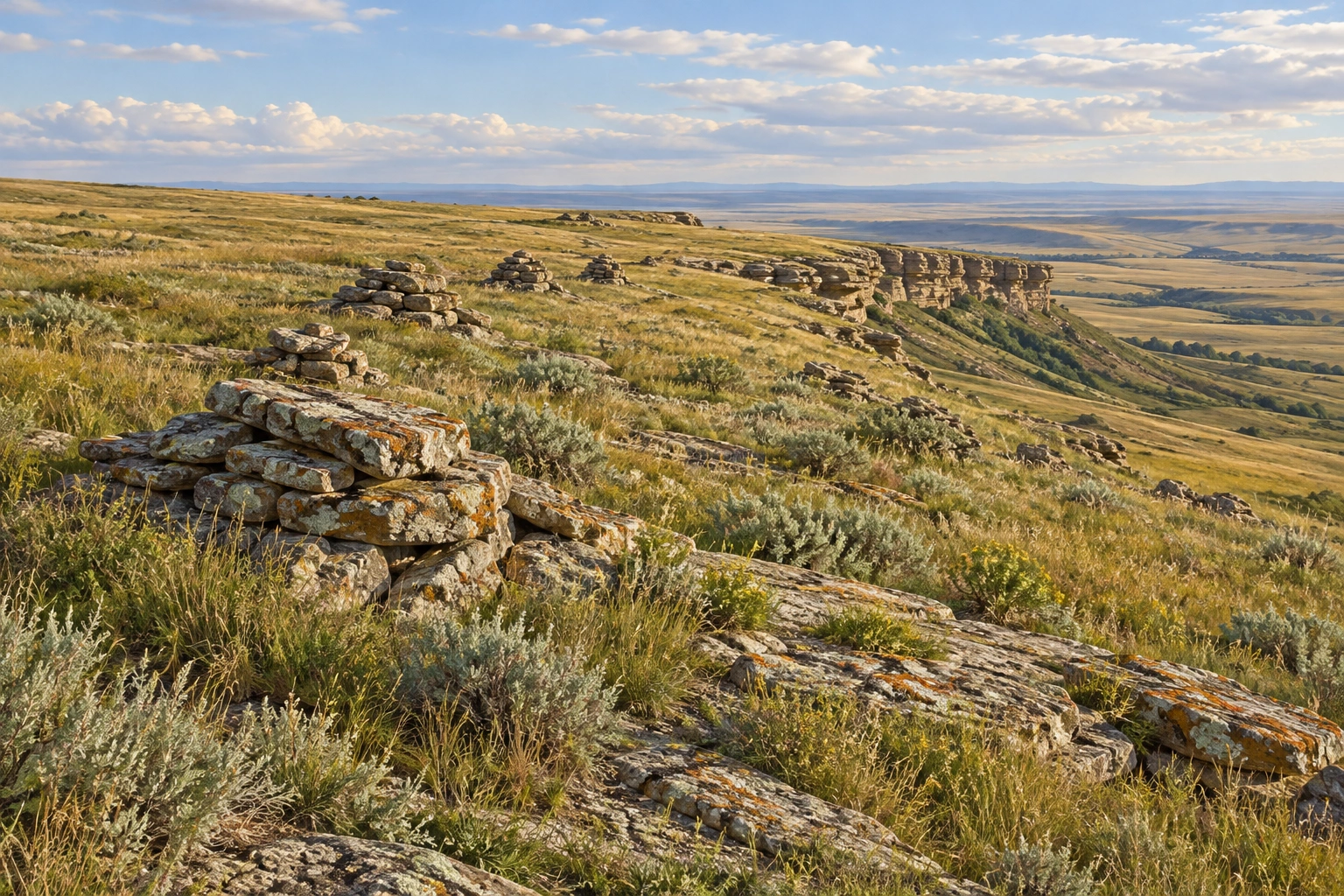
Stone cairns helped define drive lanes within the landscape. Their meaning comes from the whole site and its interpretation.
- Knowledge lives with people.
A schematic cannot replace Blackfoot accounts, place-based knowledge or the expertise shared by interpreters today.
Try this: Use the centre’s interpretation to identify the roles of basin, lanes and cliff. Keep this an observation discussion rather than a reenactment.
Historic site: landscape components ↗ · Site interpretation ↗
01 · Gathering basin
Understand the wider terrain
The system begins beyond the escarpment edge.
02 · Drive lanes
Follow the landscape pattern
Cairns marked parts of a coordinated approach.
03 · Jump
Read the landform
The cliff was one component of the system.
04 · Interpretation
Learn through Blackfoot voices
Present-day interpretation gives the landscape meaning.
06Grassland growth & grazing
Grass grows from more than its visible leaves.
Many prairie grasses keep growing points low on the plant and maintain extensive roots below ground. Grazing removes leaf tissue; regrowth depends on the plant, season, moisture and grazing intensity.
Illustrated field lesson
A grassland has living depth.
Leaves, growing points and roots connect grazing with recovery.

- Capture light
Leaves supply energy for plant growth. Grazing removes some leaf tissue.
- Regrow
Low growing points can support new shoots when conditions permit.
- Use the soil
Roots take up water and nutrients and contribute organic matter.
- Roots support the living plant.
Roots take up water and nutrients and help anchor soil. A large root system does not make a plant immune to drought or disturbance.
- Recovery needs conditions.
Some grazing patterns can create habitat variety, while excessive repeated removal can weaken plants. More grazing is not always better.
Try this: Find leaves, new shoots and roots in the cutaway. Explain why removing every leaf repeatedly would change the plant’s energy supply.
01 · Grow
Leaves capture light.
The plant uses that energy to grow.
02 · Graze
Some leaf tissue is removed.
The amount and timing matter.
03 · Recover
New growth needs resources.
Water, stored energy and rest influence recovery.
07Make the day work for your family
Family travel guide
A flexible plan, useful official links and enough time to enjoy the place.
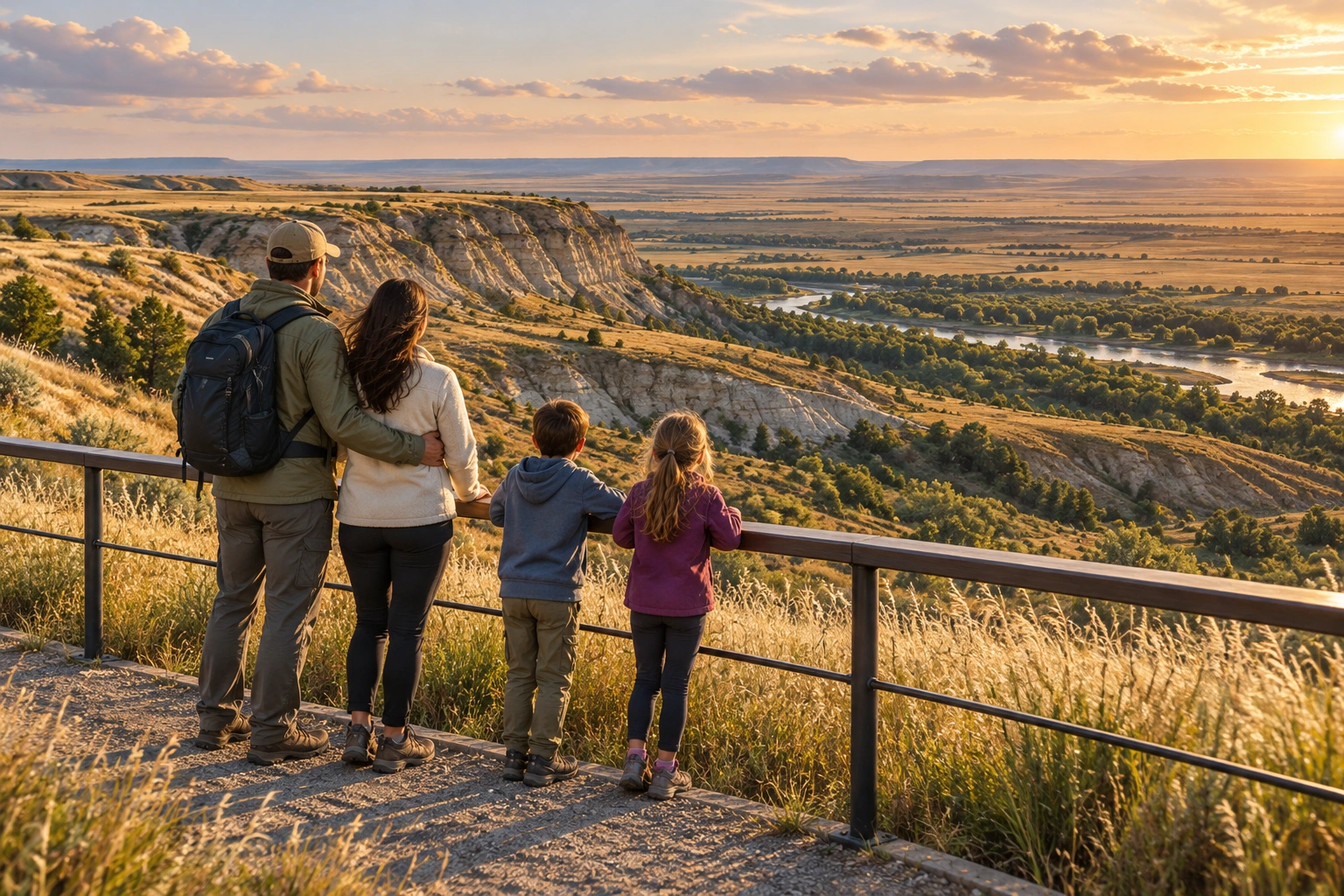
Give the centre and the land time together.
Begin indoors with Blackfoot interpretation, then add an open designated trail that suits the weather and your group. The upper and lower outdoor routes offer different perspectives; either can be enough alongside the exhibits.
The centre has elevators. The official visitor page describes the short upper trail and longer lower trail; ask about current outdoor surfaces and access for your specific needs.
When to go
Spring
Open prairie can be windy and trails may be wet.
Summer
Sun protection and water help on exposed paths.
Autumn & winter
Cold, snow and seasonal hours can favour a centre-focused visit.
Bring a small field kit
- Windproof layers
- Water and sun protection
- Comfortable walking shoes
- A notebook for questions
- Camera for permitted areas
- Current centre information
Will we see a live bison herd at the site?
The guide does not promise live bison viewing. The centre and cultural landscape are the main visit.
Is the cairn illustration a map to explore off trail?
No. It is a generic teaching context. Follow the actual site paths and interpretation.
Sources & image notes
- National historic site record ↗
- Official directions and visitor access ↗
- Parks Canada: plains bison ↗
- Blackfoot interpretation and programs ↗
- Historic site: landscape components ↗
- Site interpretation ↗
- Parks Canada: grassland habitats ↗
- Bison and grasslands ↗
- Visitor access, hours and directions ↗
- Programs and interpretation ↗
- Public program information ↗
- National historic site description ↗
Destination and family scenes are learning illustrations, not documentary photographs. New teaching plates combine polished contextual artwork with deliberately drawn explanatory labels; their main labels are repeated as readable text. Province overviews use Natural Earth boundaries and local maps use OpenStreetMap road, water and named-place geometry; they do not establish current access.
Sources and visitor links reviewed 20 October 2026. Seasonal suggestions are editorial planning advice; use the relevant authority for current conditions and operations.
The cairn scene is a generic teaching context, not a reconstruction of the site. Learn the particular landscape and Blackfoot knowledge through the interpretive centre.
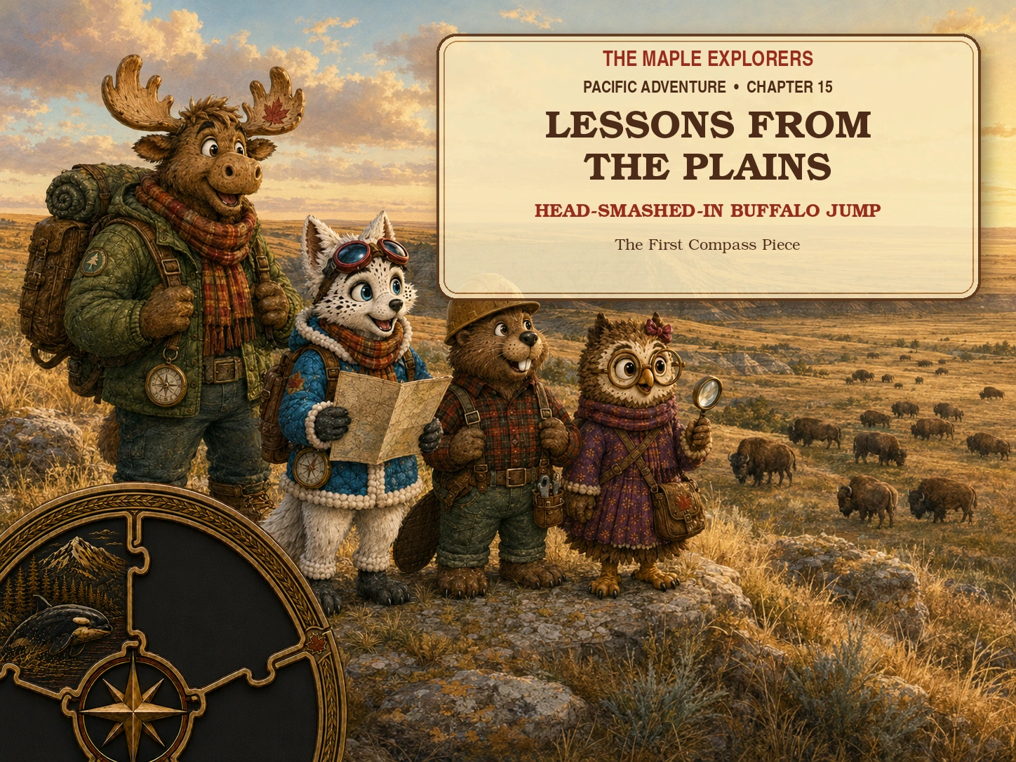
08 · Read the children’s story
Take the wonder into the story.
Lessons from the Plains
Read Lessons from the Plains together for an illustrated adventure inspired by Head-Smashed-In Buffalo Jump. The discoveries offer a starting point for questions before or after a family visit.
Read together before your visit to spark questions, or afterwards to compare the discoveries with your own.
Read the children’s story ↗Pacific Adventure · Chapter 15