Family nature, science & travel field guide
Churchill · Manitoba · Hudson Bay coast
Churchill’s ice-edge lives
Connect polar bears with sea ice, look closely at cold-weather adaptations, and discover how northern buildings manage heat and exposure.
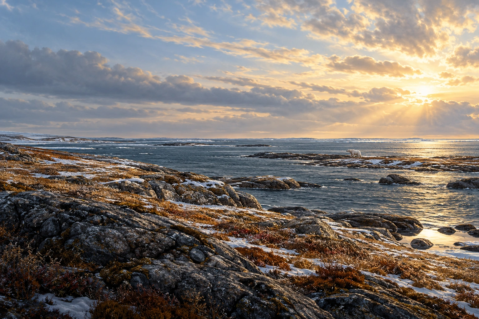
Illustrative destination scene
01Begin with wonder
Churchill at a glance
The coast tells a story that continues out on the ice.
Churchill sits where a small northern town meets Hudson Bay’s broad coastal landscape. Polar bears draw many visitors, but the deeper family lesson connects land, sea ice, food and seasonal change. Guided wildlife viewing and local interpretation help make those relationships understandable.
- The draw
- Hudson Bay & polar bears
- The pace
- Specialist guided viewing
- The mood
- Land, sea & changing seasons
02Put the place on the map
Where to find Churchill
Churchill is on Manitoba’s Hudson Bay coast near the mouth of the Churchill River. It has air and rail links, but no through road to southern Manitoba.
A coastal town reached by air or rail.
Winnipeg is the main southern gateway. Thompson is another northern transport centre, but the road network does not continue from there to Churchill. Local roads serve the town and selected coastal destinations.
- By airScheduled flights link Churchill with Winnipeg, with some services through Thompson. The actual service depends on the travel dates.
- By rail and local vehicleVIA Rail’s Winnipeg–Churchill route serves the town. Local transfers and specialist guided vehicles handle particular activities after arrival; an ordinary road trip cannot reach Churchill from the south.
Province overview
Manitoba

The highlighted window shows the area enlarged in the local map.
A closer look
Churchill · town and coastal setting

- Featured location
- Key road
- Water
- Railway
Open enlarged local map ↗ · Official Churchill-region transport information ↗
Geographic orientation with selected landmarks and roads. Road geometry is mapped; this is not a turn-by-turn route or a record of current access.
Map data © OpenStreetMap contributors ↗ · Province and regional outlines: Natural Earth ↗. Maps prepared 21 October 2026.
03Three ways to look closer
Learn and explore in Churchill
Three connected ways to understand the place: notice its living world, look closely at a useful design, and follow the process behind an observation.
- Nature spotlightPolar bears & sea ice ↗
Connect a coastal bear with the sea-ice habitat and food resources beyond the shoreline.
- Engineering spotlightCold-climate research buildings ↗
Connect insulation, air leakage and ventilation in a carefully managed northern building.
- Science spotlightPolar bear cold-weather adaptations ↗
Study ears, fur and paws as specific adaptations, then reconnect them with habitat and food.
Start small: Ask how a useful body feature depends on the landscape around the animal.
04Polar bears & sea ice
A land sighting has an offshore connection.
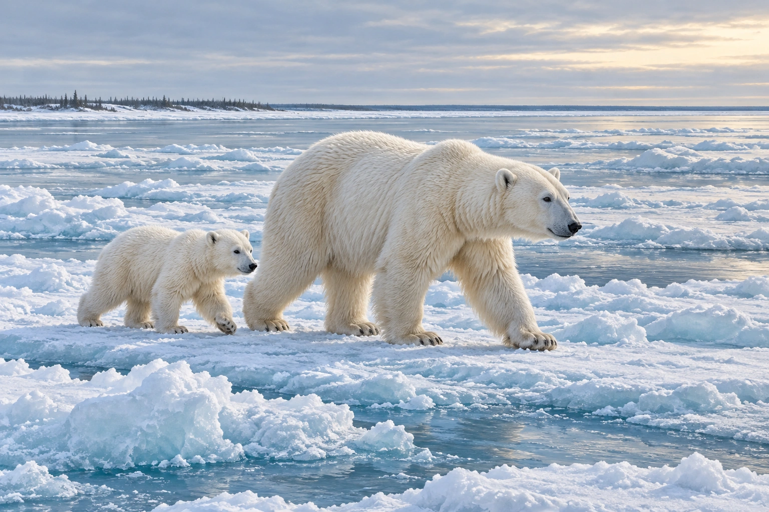
Polar bears are specialised marine mammals that depend strongly on access to seals and sea ice. Bears seen on land remain connected to an offshore feeding system.
- Seasons shape opportunity.
Ice formation and breakup influence when hunting habitat is available. A single coastal photograph cannot show the whole year.
- Do not generalise winter denning.
Pregnant females use maternity dens. It is inaccurate to describe all polar bears as hibernating through winter.
Try this: Compare land, open water and sea ice in the illustration. Explain which part of the bear’s food system the picture cannot show directly.
Parks Canada: polar bear ecology ↗ · Regional wildlife monitoring ↗
05Cold-climate research buildings
A northern building manages heat as a system.
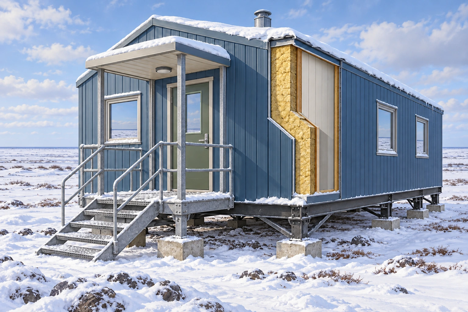
A field station needs an appropriate building envelope, managed air exchange and reliable services. Insulation slows heat transfer, while air sealing reduces uncontrolled leakage; neither replaces ventilation.
- Materials and connections both matter.
Heat can pass through poorly insulated junctions as well as broad wall areas. Door and window details contribute to the whole building.
- The cutaway is generic.
It explains insulation in a wall, not the actual construction of a named Churchill research facility or a building recipe.
Try this: Follow the outer wall, insulation and inner surface in the illustration. Ask where a gap could undermine the intended barrier.
Churchill Northern Studies Centre: sustainability ↗ · NRCan: heat and building envelopes ↗
01 · Envelope
Separate indoor and outdoor conditions
Walls, roof and openings work together.
02 · Insulation
Slow heat transfer
Continuity matters at the connections.
03 · Air sealing
Limit uncontrolled leaks
A gap can reduce performance.
04 · Ventilation
Manage indoor air
Fresh air needs deliberate provision.
06Polar bear cold-weather adaptations
An adaptation works in a particular environment.
Dense fur, a layer of body fat, small rounded ears and large paws contribute to a polar bear’s life in cold environments. These features work alongside behaviour and access to food.
Illustrated field lesson
Cold-weather adaptations work together.
Visible features have different roles within a complete living animal.

- Small rounded ears
A compact shape helps limit exposed surface area and heat loss.
- Dense fur
Fur contributes insulation. The fat layer beneath the skin adds another insulating role.
- Broad paws
Large paws help support movement over varied surfaces and during swimming.
- Different features have different roles.
Fur and fat influence insulation, while broad paws support movement over varied surfaces and in water. No single feature explains the whole animal.
- Adaptation has limits.
A cold-adapted body cannot replace lost hunting habitat. Sea ice and sufficient food remain central to survival.
Try this: Match the numbered visible features in the plate to their roles. Note that the body’s fat layer is discussed in text rather than measured from the drawing.
Parks Canada: polar bear adaptations ↗ · Polar bear ecology ↗
01 · Describe
Name a visible feature.
Avoid guessing internal measurements.
02 · Connect
Explain a useful role.
One feature can contribute in several ways.
03 · Consider limits
Return to the habitat.
Adaptations still need food and suitable conditions.
07Make the day work for your family
Family travel guide
A flexible plan, useful official links and enough time to enjoy the place.
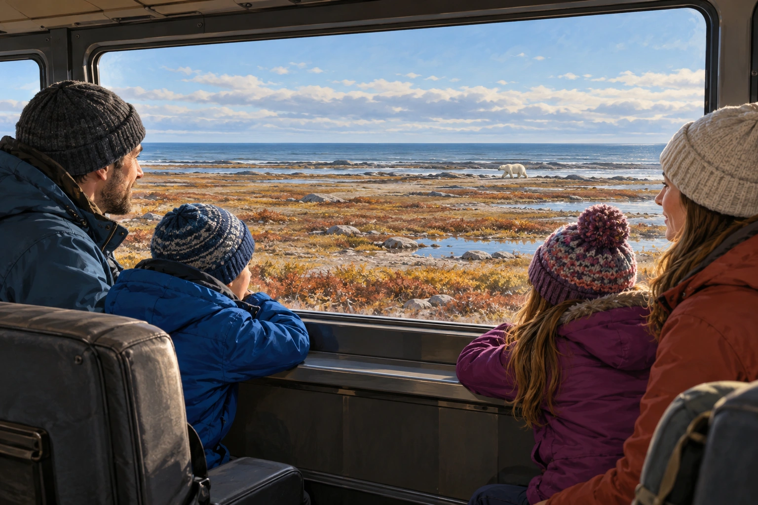
Use specialist local guidance throughout.
Choose a reputable guided activity with an age policy, protected viewing setting and schedule suited to your family. Keep indoor learning and town experiences in the plan so the visit remains rewarding when weather changes an outing.
Ask about transfers, vehicle steps, seating, washrooms, heated spaces and time outside. Protected viewing vehicles and other activities differ substantially.
When to go
Summer
Coastal learning and wildlife activities differ from the autumn viewing focus.
Autumn
A common guided polar-bear travel period; weather, movement and sightings still vary.
Winter & spring
Severe cold, ice and specialised access require activities designed for those conditions.
Bring a small field kit
- Activity-appropriate insulated clothing
- Warm boots, hat and mitts
- Required medications
- Camera and spare batteries
- Transport and booking information
- Operator-specific equipment list
Can we drive to Churchill from Winnipeg?
No. Churchill is reached by air or rail, with local road transport after arrival.
Do all polar bears sleep in dens through winter?
No. Maternity denning by pregnant females should not be generalised to all polar bears.
Sources & image notes
- Parks Canada: polar bears ↗
- Official Churchill-region transport information ↗
- Parks Canada: polar bear ecology ↗
- Regional wildlife monitoring ↗
- Churchill Northern Studies Centre: sustainability ↗
- NRCan: heat and building envelopes ↗
- Parks Canada: polar bear adaptations ↗
- Polar bear ecology ↗
- Churchill travel overview ↗
- Regional air and rail access ↗
- Polar-bear safety ↗
- Churchill Northern Studies Centre ↗
Destination and family scenes are learning illustrations, not documentary photographs. New teaching plates combine polished contextual artwork with deliberately drawn explanatory labels; their main labels are repeated as readable text. Province overviews use Natural Earth boundaries and local maps use OpenStreetMap road, water and named-place geometry; they do not establish current access.
Sources and visitor links reviewed 20 October 2026. Seasonal suggestions are editorial planning advice; use the relevant authority for current conditions and operations.
08 · Read the children’s story
Take the wonder into the story.
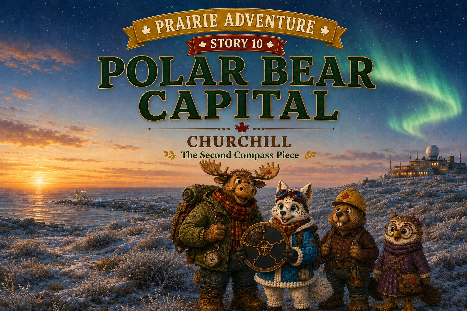
Polar Bear Capital
Read Polar Bear Capital together for an illustrated adventure inspired by Churchill. The discoveries offer a starting point for questions before or after a family visit.
Read together before your visit to spark questions, or afterwards to compare the discoveries with your own.
Read the children’s story ↗Prairie Adventure · Chapter 10