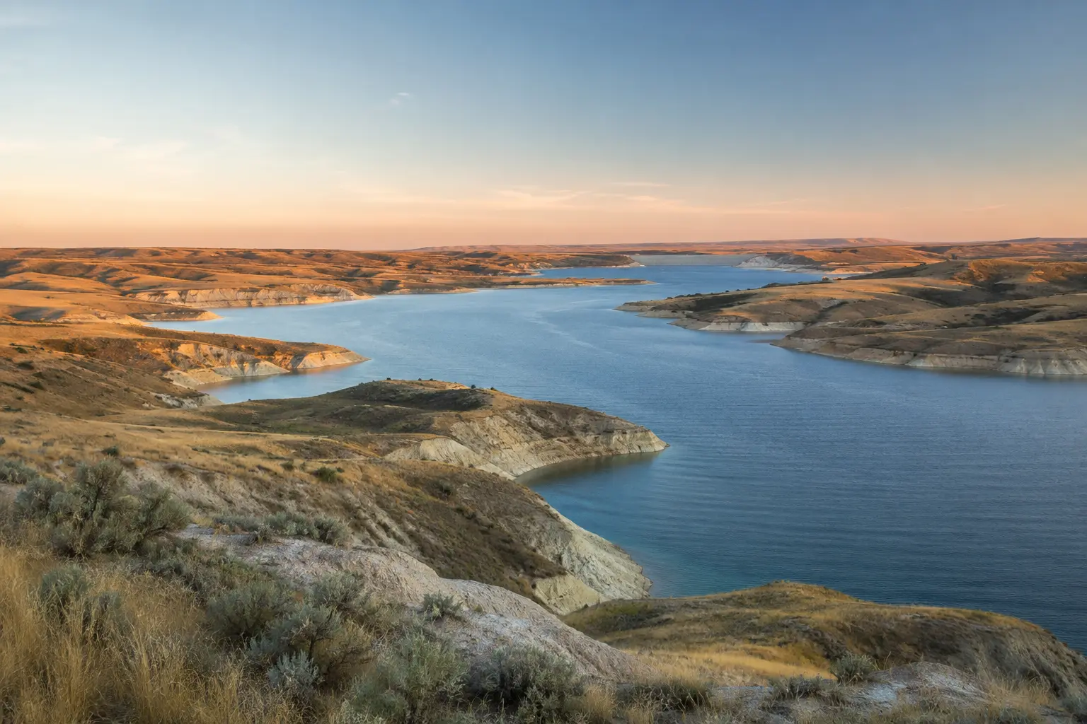
Lake Diefenbaker · Saskatchewan
Where prairie water
becomes a shared reserve.
A long reservoir, a monumental earthfill dam, and a living wetland shoreline reveal how water moves through one of Saskatchewan's hardest-working landscapes.
RESERVOIR225 km long
HEIGHT64 m earthfill dam
LENGTH5 km embankment
SHARED WATERPeople, farms, power & habitat
A lake built around balance
The reservoir stores a river, but it never stands still.
Lake Diefenbaker was created by Gardiner Dam on the South Saskatchewan River and the Qu'Appelle River Dam. Water arrives from a vast upstream basin, then leaves through evaporation, community and agricultural use, power generation, and managed releases.
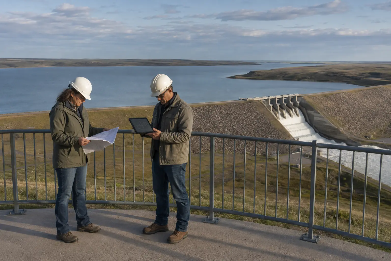
Reading a working landscape
Every operating choice starts with conditions upstream and downstream.
Water managers track precipitation, mountain snowmelt, river inflows, current storage, downstream conditions, and seasonal demand. A release that is appropriate one week may need to change after a storm or rapid melt.
- 01
Look upstreamRain and melting snow in Alberta can change inflows many kilometres away.
- 02
Read the reservoirLevels, shoreline marks, weather, and forecast demand describe the water already stored.
- 03
Think downstreamControlled releases affect river depth, speed, habitat, farms, and communities toward Saskatoon.
Conditions change. Check current Water Security Agency lake and river updates before travelling or entering the water.
Why the shoreline moves
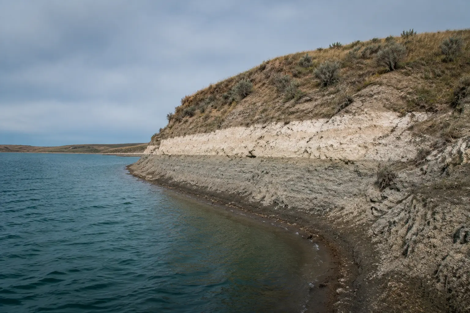
A pale band can be yesterday's waterline.
The exposed edge of a reservoir is a visible record of water moving in and out. A higher mark can remain on the bank while a dark damp strip follows the present level.
- InflowRiver water, rain, and snowmelt add to storage.
- StorageThe reservoir spreads water along a long, branching valley.
- UseCommunities, farms, industry, recreation, and ecosystems all draw on the system.
- ReleaseGates and power facilities return controlled flows downstream.

Earth, rock, concrete, water
The dam holds with mass.
The spillway gives water a route.
Gardiner Dam is a broad earthfill structure: compacted material forms the immense embankment, while its concrete control works handle water at concentrated points. The two systems do different jobs.
Hold the reservoir safely. Guide necessary releases downstream.
Five kilometres of compacted earth and rock spread the load across a very wide footprint.
Gates provide a managed path for high flows and operational releases.
Operators inspect, measure, maintain, and adjust the system as conditions change.
Water becomes habitat
A quiet cove is more than an edge.
Shallow water, reeds, mud, and open lake meet in a narrow zone rich with food and shelter. American white pelicans can forage cooperatively, while ducks rest and feed closer to cover.
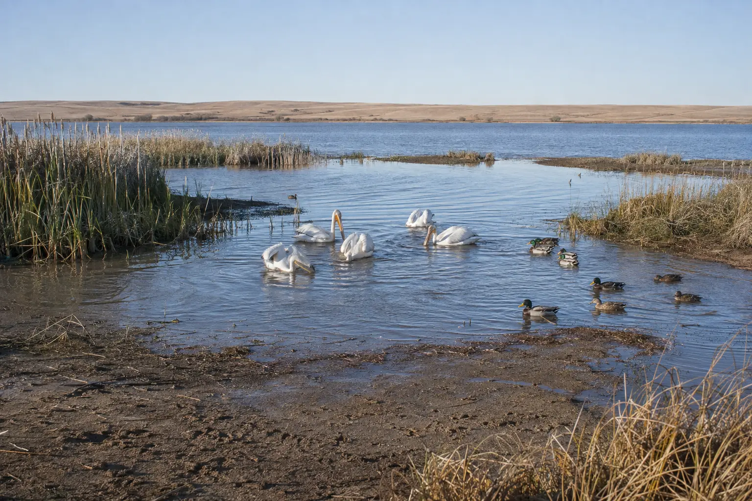
Fish become reachable without birds entering deep water.
Cattails and emergent plants soften waves and create shelter.
Mud and wet soil hold tracks, seeds, and invertebrate life.
Watching from far away leaves wildlife room to feed and rest.
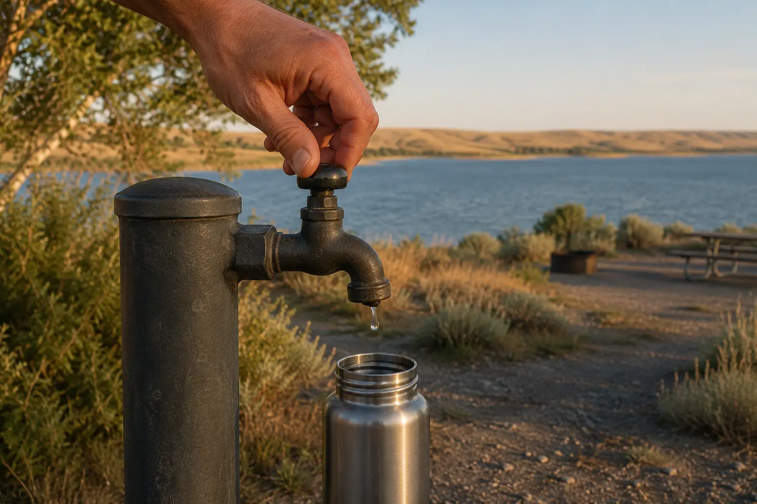
LAST
DROPSMALL ACTION · SHARED SYSTEM
The chapter's practical lesson
Large infrastructure and small choices belong to the same water story.
A dam can store and guide enormous volumes, but it cannot replace careful daily use. Closing a tap, filling only what is needed, following advisories, and protecting shore habitat all reduce pressure on the shared system.
Use what you need. Leave the water, shoreline, and wildlife in good condition for the people and species that come next.
Four systems at work
Read the reservoir as one connected landscape.
Water balance, dam engineering, shoreline habitat, and downstream flow are inseparable parts of the same system. Each field note reveals a different relationship to watch for at Lake Diefenbaker.
STORAGEInflow − outflow = changing storage
One waterline is a moment, not a promise.
Weather, snowmelt, evaporation, demand, and releases continually change the reservoir balance.
STRUCTUREMass + drainage + controls → stability
The embankment and spillway solve different problems.
Earth and rock hold the reservoir across a broad base; concrete works give moving water controlled routes.
REFUGEShallows + reeds + quiet → refuge
Habitat follows the water's edge.
Fluctuating levels can expose feeding ground or remove cover, so operational choices also become ecological choices.
FLOWLake → dam → river → community
The reservoir landscape continues downstream.
Water released at Gardiner Dam returns to the South Saskatchewan River and travels north toward Outlook and Saskatoon.
Find the chapter landscape
A long reservoir anchored by Gardiner Dam.
The map centres on Gardiner Dam at Lake Diefenbaker's northeastern arm in Danielson Provincial Park. Use it for orientation, then confirm current park services, road conditions, and water advisories before travelling.
At the north end of the reservoir, the park offers shoreline access, camping, beaches, and trails through prairie, wetlands, wooded patches, and coulees.
The principal dam impounds Lake Diefenbaker on the South Saskatchewan River, roughly 25 kilometres north of Elbow.
Reservoir levels, spillway operations, downstream flows, and recreation safety can change with weather and inflow.
Current Lake Diefenbaker updates and Danielson visitor information are the planning authorities.
 Read the full chapterOpen Story 6 ↗
Continue the Prairie Adventure
Story 6
Saving Every Drop
Join Lumi, Aspen, Hazel, and Barrett at Lake Diefenbaker as a pale shoreline mark, a quiet bird cove, Gardiner Dam, and one dripping campground tap reveal how a reservoir balances many needs.
Opens the chapter page on the main Maple Explorers site.
Questions from curious explorers
Prairie water, answered.
01Where is Lake Diefenbaker?+
Lake Diefenbaker follows the South Saskatchewan River valley across southern Saskatchewan. Gardiner Dam anchors its northeastern arm near Danielson Provincial Park.
02Is it a natural lake?+
It is a reservoir created by Gardiner Dam and the Qu'Appelle River Dam. The two dams were officially opened in 1967.
03How large is Gardiner Dam?+
The Water Security Agency describes it as 64 metres tall and 5,000 metres long. It remains one of the world's largest earthfill dams.
04Why does the water level change?+
Rain, snowmelt, upstream river inflow, evaporation, water use, and managed releases all affect the reservoir's level.
05What jobs does the reservoir perform?+
It supports municipal and industrial water supply, irrigation, power generation, recreation, wildlife habitat, and flood management.
06What should I check before visiting?+
Check current park services, weather, road conditions, lake and river advisories, and Water Security Agency operating updates before travelling or entering the water.
Research trail
Official sources behind the field guide
Dam dimensions, reservoir geography, water uses, operating context, trails, and trip planning were checked against the Water Security Agency, the Government of Saskatchewan, and Tourism Saskatchewan. Confirm current conditions directly before travelling.